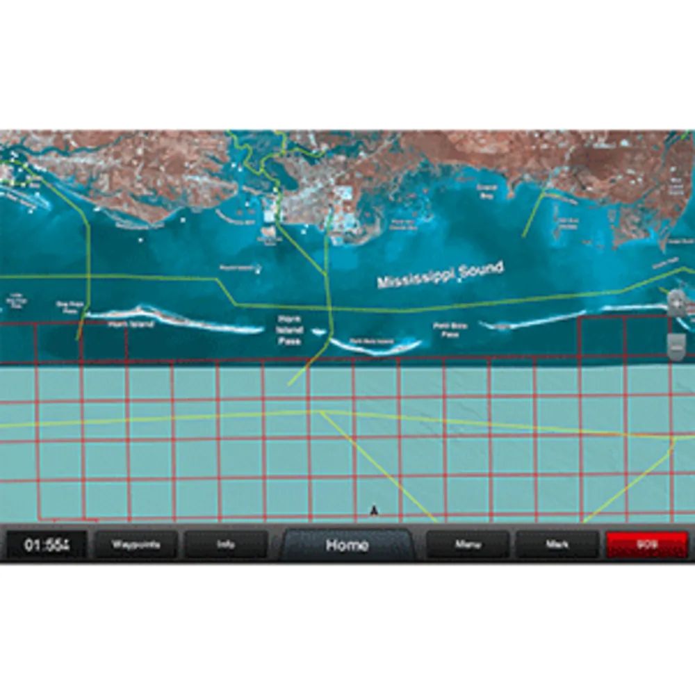
The Standard Mapping® Mississippi Sound Professional microSD™/SD™ Card offers an extensive collection of high-resolution aerial imagery, detailing local waterways and land features throughout the Mississippi Sound region. This card includes outlined Wildlife Management Areas and Offshore Lease Areas, enhancing navigation and understanding of the coastal environment.
© 2026 eSellerBot. All rights reserved.


