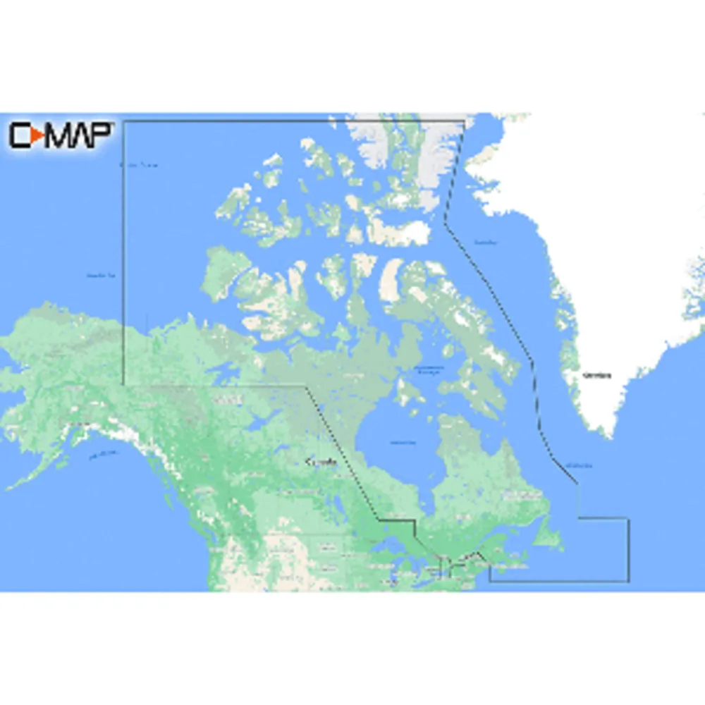
The C-MAP REVEAL Coastal Chart for Canada North & East is designed for avid cruisers and fishermen alike. With advanced features such as Shaded Relief, Reveal Seafloor, Aerial Photography, and Satellite Overlay, it offers a comprehensive view of the waters. This chart enhances core C-MAP functionalities found in DISCOVER, including full-featured Vector Charts, Custom Depth Shading, Tides & Currents, and Easy Routing. Additionally, it provides high-resolution bathymetry and integrates Genesis data for the best possible navigation experience. A purchase includes 12 months of online updates.
© 2026 eSellerBot. All rights reserved.


